Cape Wrath / About
The Cape Wrath Trail is a rough 400km route through arguably the most dramatic and beautiful part of the British Isles. The route is unmarked and often without path as it weaves it’s way through the mountains and of the Northwest Highlands of Scotland, occasionally bursting out onto the sea lochs and coast.
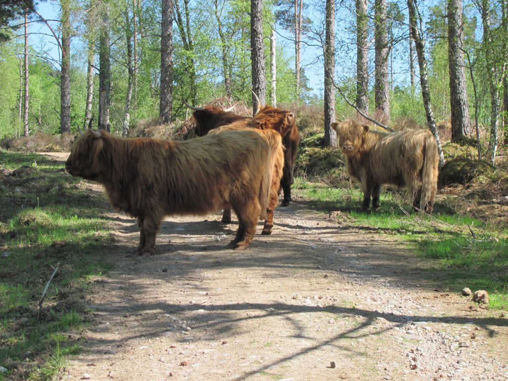
01. Highland cows are well-suited to the rigours of the West Highlands

The Cape Wrath Trail with the more spectacular Glenfinnan and Knoydart option is about 400 km long
While there is no established route between the starting point of Fort William and the finishing point of Cape Wrath most walkers follow one of two alternatives for the first week until they reach Morvich in Kintail. The first and arguably most spectacular and rugged alternative goes through Ardgour and Knoydart, while the second easier route follows the Great Glen and then Glen Garry and Glen Sheil.

02. The “Rough Bounds” of Knoydart is often considered the most remote place in Scotland
Both routes meet at Morvich and then by convention head north for a few a days through Kintail and West Monar to reach Glen Carron and then Kinlochewe. There are then a couple of days through the spectacular Letterewe and Dundonnell areas to reach Loch Broom and the end of the second section.

04. A Red Grouse beneath An Teallach in Dundonnell
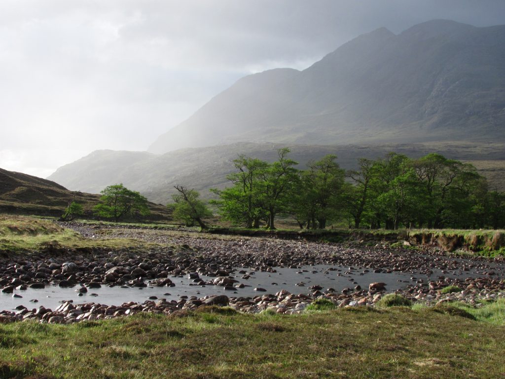
03. Changeable weather in Fisherfield near Shenavall bothy
The third section takes up to 10 days and continues north through empty lonely moorland to reach the ancient landscape of Assynt and then NW Sutherland. During the final days of this section the route returns to the coast and follows the wild untamed Atlantic north to the Cape.
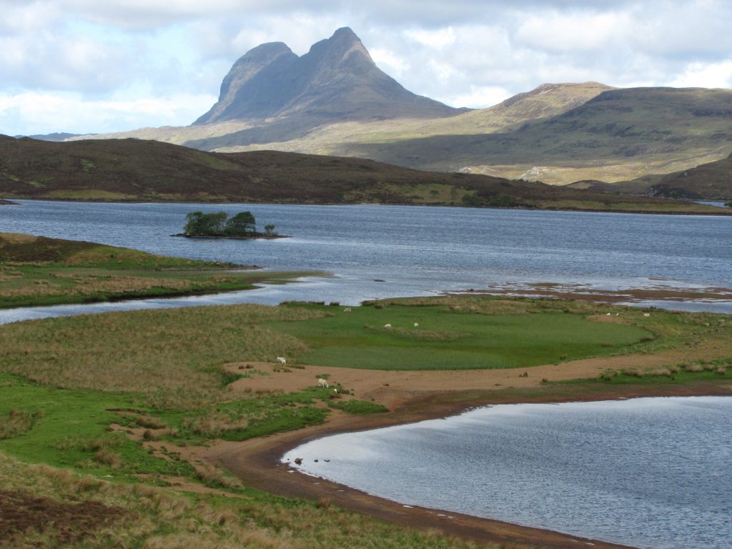
05. The iconic mountain rises above the lochs of Assynt

08. At Kearvaig Bay there is a beautiful bothy with great views of the spectacular coastal architecture
At Cape Wrath there is a weather dependant minibus and ferry to return to civilization. It is a mixed blessing if it is not running as the route then goes past the superb Keavaig bothy on its dramatic beach. After spending a night here you continue east to the Kyle of Durness. If the ferry is still weatherbound there is a half day detour to the road.
09. Some 10 km to the east of Cape Wrath is the Kyles of Durness which separates the Peninsula from the rest of Northern Scotland. After nearly 400 wilderness kilometres It is the last hurdle between the Cape Wrath Trail and Civilization again
Along the route there are a mix of accommodation. It is necessary to camp about 5-6 times. There are a few rustic stone shelters, called a Bothy, and you can use these on about 7 -8 occasions and there are about 5 bunkhouses. If the weather is poor for a day a bothy is a good place to hunker down and shelter from the rain until it passes.

06. Strathchailleach bothy near Sandwood Bay has a huge stock of peat to make a roaring fire and dry off before the final day to Cape Wrath